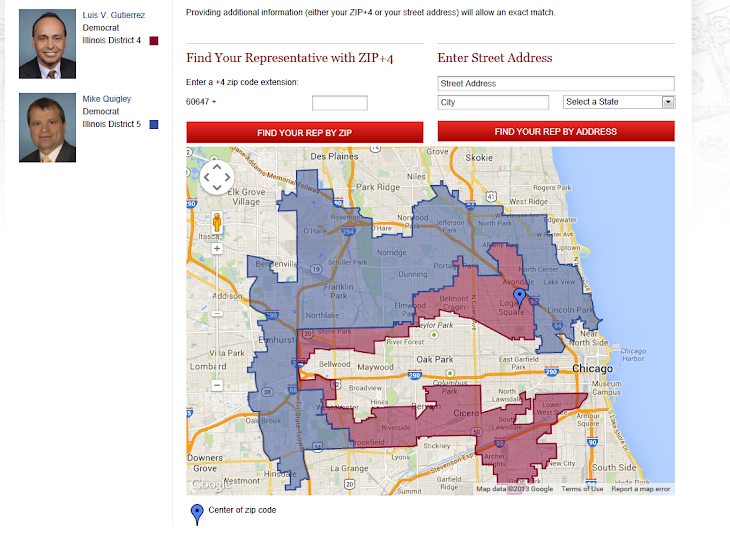
I saw this today, very cool: http://www.wired.com/design/2013/08/how ... eid-210501
In the snapshot of (most of) the US, you can see a band of black population that is roughly U-shaped and curves through the north and east of the Mississippi Delta region, through MS, AL, and GA.

It reminded me of this article, which, while vaguely political, is mostly about geology and therefore this post isn't intended for the TP. Pretty amazing that the lay of ancient beaches results, via slavery, in a demographic pattern still apparent 150 years after the Civil War.
Other interesting stuff:
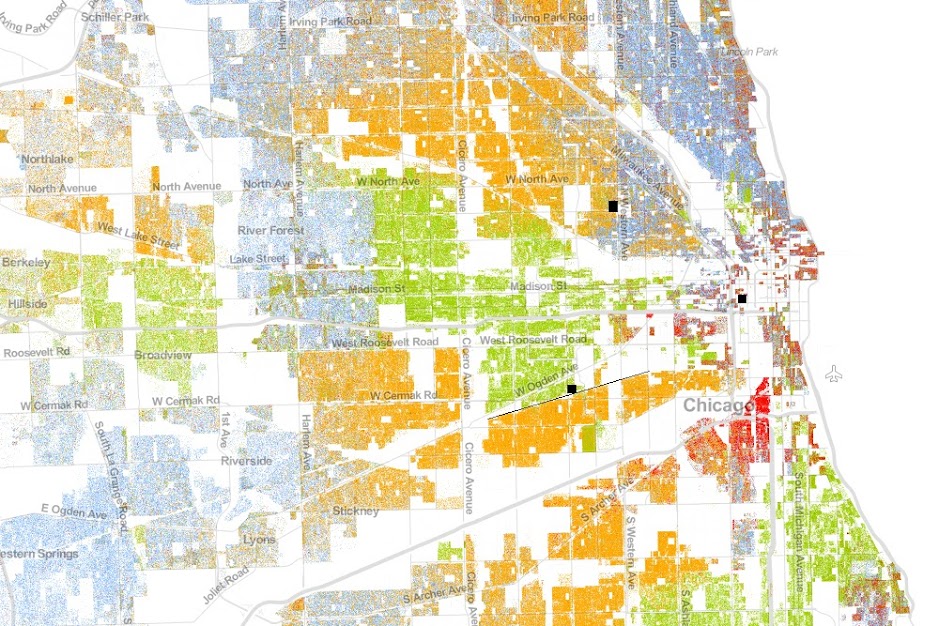
I drew three boxes on this in black. The northern/western box is where I currently live. You can see the N/S street immediately to the east is a dividing line of sorts. Identical homes to mine on the east side of that street cost ~20% more than we paid for ours immediately west.
To the south and west, the black box is the vicinity of the shop I rent storage space in for the track car and related stuff. The very sharp dividing line between Latino and black neighborhoods is a physical train track (I drew the line in where the track runs). Pretty amazing that such barriers that are easily crossed create such stark divisions (the train is elevated). Side note, to the east and south of the shop is a square that is mixed Latino and black. That's Cook County jail, the largest in the nation.
Finally, the center/east dot is where I lived until recently. Relatively sparsely populated as it's a pretty business-heavy district, but condo buildings are going up right and left there so I expect it will look very different at the next census. Highly integrated area ethnically, though.
More random map fun here: http://twistedsifter.com/2013/08/maps-t ... the-world/
-tammer